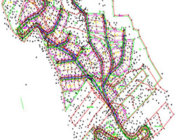
Topographic Studies and Works
Topographic Charts

- Issue of building permits
- Contracts - transfers
- Land plots - parcels - land - construction
- Determination of shoreline and beach
- Settlement - Reconciliation Act
- Implementation Act Dependent on the pan-Hellenic EGSA'87 reporting system
- Diagram of Geometric Changes in the National Cadastre
Support for studies

- Topographical surveys
- Impressions on all scales using total stations and GPS
- Concepts - creation of a digital ground model
- Triangulation - synorthoseis networks
- Delimitations
Construction support

- Horizontally-high-pitched engravings
- Measurements - area measurements - volumetric measurements
- Installation of spatial networks
- Horizontal network installation
Studies
- Topographic
- Transportation
- Hydraulic
- Road construction
Special surveys

- Monument recordings
- Industrial
- Microtransmission control
- Architectural impressions
- Indoor
GET IN TOUCH
- Eleytheriou Benizelou 6, Igoumenitsa (2nd floor)
- +30 2665 100 220
- +30 697 201 4127 +30 697 333 6140
- panagiotis@myriounis.gr christos@myriounis.gr
- Μυριούνης Τεχνική
© Copyright 2018. All Rights Reserved.
Developed by ![]()
![]()